

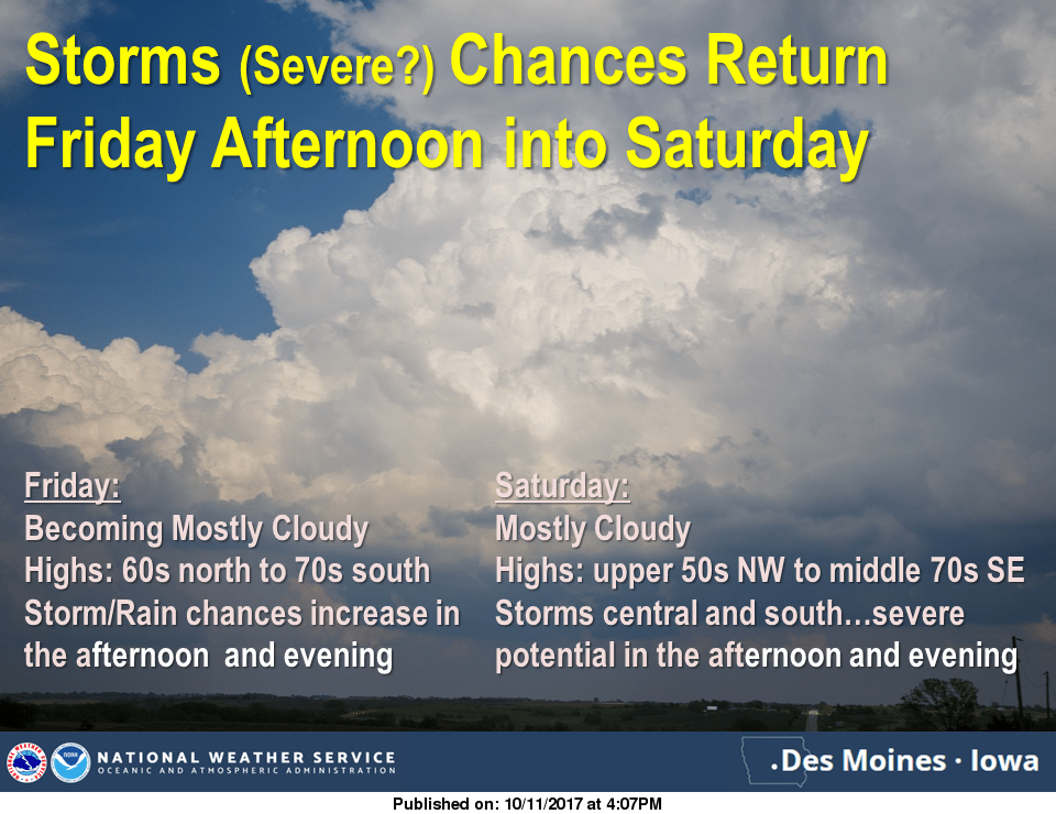
Another round of showers and thunderstorms are possible this weekend, with a chance of severe weather on Saturday.
According to the National Weather Service Storm Prediction Center, a slight risk of severe weather is in place for areas south of Interstate 80 on Saturday. The primary risk would be scattered thunderstorms capable of producing hail and damaging winds. In addition, more drought relief is possible as well, with 1-2” of rain possible through Sunday morning. Stay tuned to KNIA/KRLS for the latest weather information.
Since the beginning of the month, 1.5” to 2” of rain has fallen throughout most of Marion County, with amounts over 4” recorded near Bussey and the southeast portion of the county. The National Weather Service Palmer Drought Index indicates Marion County needs another 6-9” of rain over the next three weeks to alleviate drought in the region.
Since Tuesday (with 10/10 totals in brackets):
Lake Red Rock MET Station – 1.6”
Pella – 1.49”
Knoxville – 1.92”
Cedar Creek – 4.34”
Des Moines River near Tracy – 2.4”