
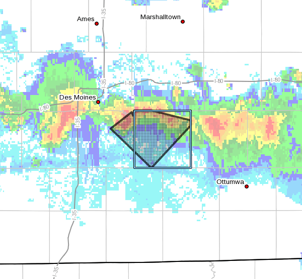
The KNIA/KRLS Severe Weather Action Team was on the air twice for severe thunderstorm warnings Thursday night for a line of storms dumping heavy rain and large hail primarily in Polk and Jasper Counties. Six staff members were contributing to live coverage on KNIA/KRLS, with updates from Marion and Warren County and up-to-date details about storms during the broadcast. The first warning impacted extreme northwestern Marion County until from 8:15 to 9 p.m and a second warning came in for northern Warren County at approximately 9:15 p.m. for another hour long event. Two more warnings for most of Marion County were issued and continued until after 11 p.m., with live coverage on the airwaves for nearly three hours.
It came after a record-breaking day for heat gave a preview of summer to all in the region. According to the National Weather Service, the previous record of 90 set in 1880 for Marion County was broken with a high of 91 degrees in the afternoon. Chances for scattered storms will also mean chances for severe weather in south central Iowa again today and tomorrow. A marginal risk for severe weather is in the forecast today and a slight chance exists Saturday. Conditions are favorable for the development of strong thunderstorms producing heavy rain, large hail, and damaging winds, especially late Saturday. The best chance exists late Saturday afternoon into the evening. Stay tuned to 92.1 KRLS for the latest weather information.