
Map of July 2019 outlook from Climate Prediction Center
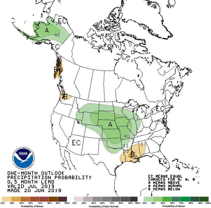
More typical summer conditions have not settled into Iowa, and the long term forecast shows general trends will keep similar weather patterns continuing. State Climatologist Justin Glisan says the last 12 months have been the wettest on record for the period from June 1st to May 31st. According to the National Weather Service, the long-term outlook for July indicates high chances of above normal precipitation and below normal temperatures. While June precipitation has been near the average of four inches, it’s been an above average first half of 2019–with 21 inches recorded in Marion County, about four inches above normal. A warm up is on the way this week, with afternoon high temperatures topping in the mid to upper 80s through the weekend. Stay tuned to 92.1 KRLS for the latest weather information.