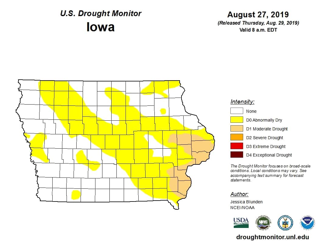
Despite recently dry conditions, the past year can be mostly defined as one of the wettest on record. State Climatologist Justin Glisan says since last summer, a wet fall and an active winter led into another rainy spring.
“We had the snowiest February in 132 years of records. We averaged 26.5 inches and that’s almost 10 inches above average. Parts of northern Iowa had anywhere from 40 to 50 inches of snow, I mean that’s a very large snowpack there. So with the snowpack and then record subsoil moisture moving into spring, it starts to get wet, we had the bomb cyclone that moved into the Midwest in the middle of March and we had record flooding.”
Since then, Glisan says despite mostly cooler temperatures, summer has become far more average, and even dry in portions of Iowa.
“Moving into summertime, we’re right about average. We didn’t really have any major events come through. Severe weather was kind of around average, we did have the tornadoes a few weeks ago in the southern part of the state. But if you look at the year in general it’s been, you know, ups and downs, but we kind of average out.”
Glisan says there was great variation in weather events over the past twelve months, but it’s hard to define any long-term trends based on one year alone in climate science. According to the National Weather Service Climate Prediction Center, meteorological autumn, which begins Sept. 1st and ends on November 30th, has a better chance of being warmer than average, with equal chances of above or below normal precipitation.

