
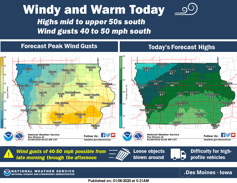
A quick burst of warmer weather will reach the region today, and with it, strong wind gusts are expected. The National Weather Service has issued a wind advisory until 5 p.m., as winds will top out has high as 45 miles per hour today, which will push afternoon high temperatures into the mid 50s.
After the brief burst of spring, winter weather returns Friday afternoon, as light to moderate snow remains possible in two rounds — the first tomorrow, and the second on Saturday evening and afternoon. Most of south central Iowa should receive between 1-3 inches of snow, with higher amounts possible depending on the track of the storm system.
Stay tuned to KNIA/KRLS for the latest weather information.