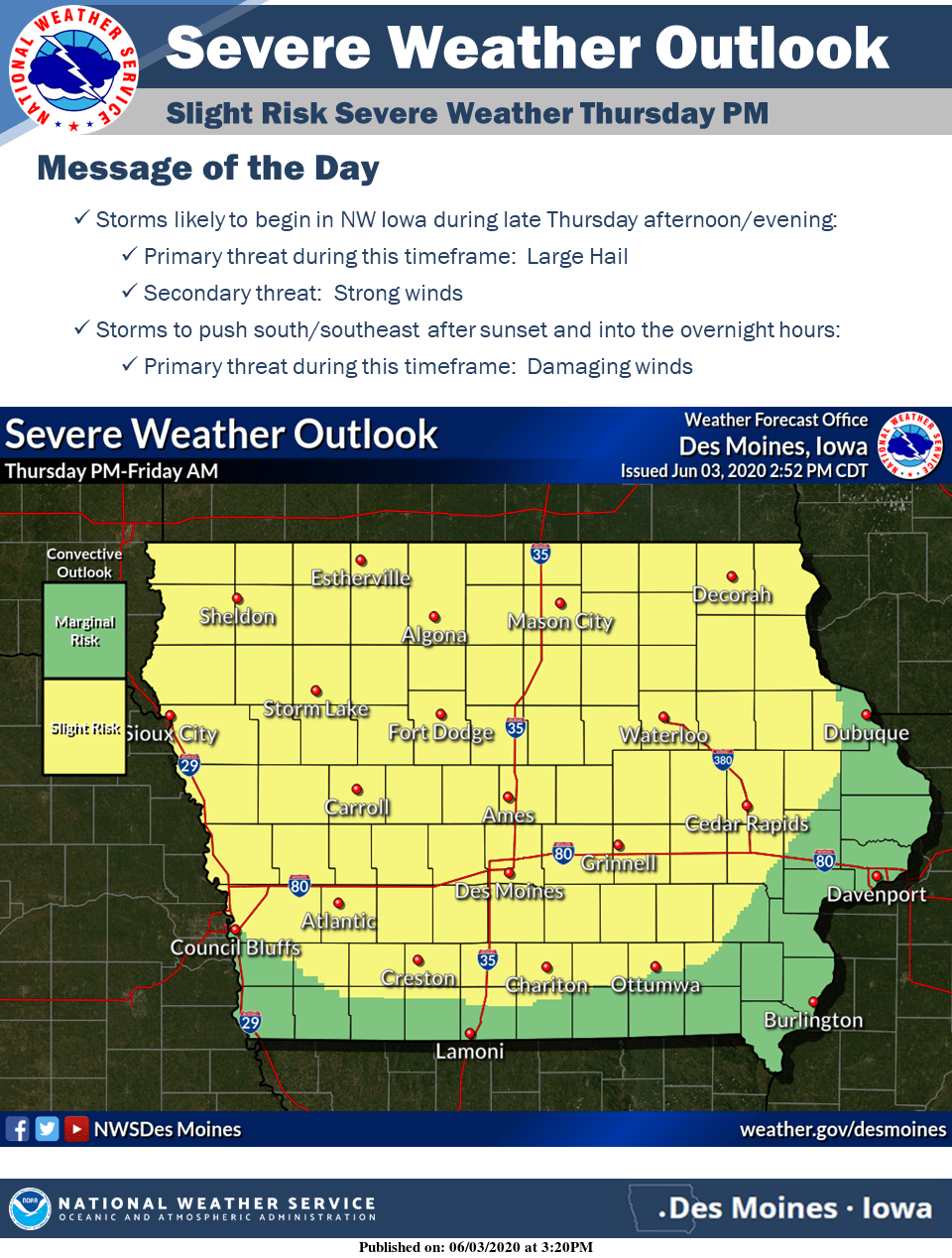
The potential for strong to severe thunderstorms returns across much of Iowa later this evening into early Friday morning.
According to the National Weather Service, large hail will be the primary threat with storms that develop across northern to northwestern Iowa during the late afternoon. These storms will likely progress south/southeastward after sunset into the overnight hours. During this timeframe, the main threat with the storms will transition to damaging winds.
The KNIA/KRLS Severe Weather Action Team is on the air for any severe thunderstorm or tornado warning for any portion of Marion and Warren Counties.

