
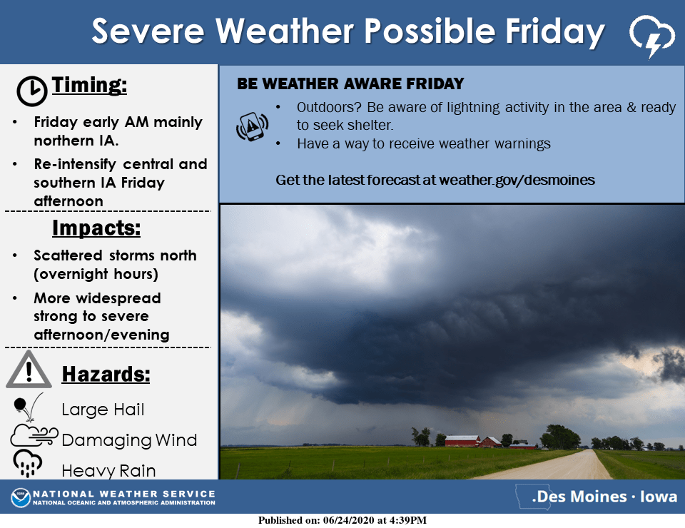
The potential for more widespread showers and thunderstorms will increase Friday in south central Iowa as warmer, more humid air returns. The National Weather Service predicts the better storm chances will be over northern Iowa late Thursday night, and then storms will re-intensify in central and southern IA east later Friday. Some of the storms may be severe with locally heavy rains, large hail and damaging wind. It will feel much more like summer as well with muggy conditions and highs in the 80s or even lower 90s at times over the next several days. Stay tuned to KNIA/KRLS for the latest weather information.