Today is the Winter Solstice, which is the shortest day of the year and the official start of winter in the Northern Hemisphere.
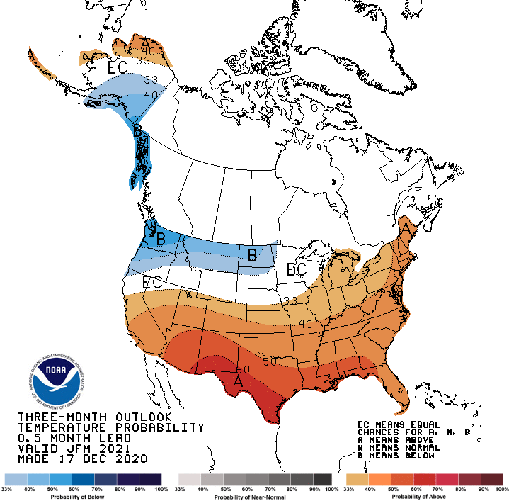
And while the coldest and harshest months of the year are fast approaching, if early climate prediction trends continue, it may not be as bad as recent winters in south central Iowa.
State Climatologist Justin Glisan says the latest three-month outlook from the National Climate Prediction Center indicates warmer than average conditions largely persisting in Iowa. He cautions that there will still be cold spells, but they might not be as long-lasting or intense.
And while most of the drought was relieved locally, Glisan says near normal to possibly below average precipitation will keep those dry conditions in place west of Interstate 35 for the foreseeable future.
A brief cool down will begin on Christmas Eve later this week with frigid air starting overnight Wednesday into Thursday, and continuing through Christmas morning. This comes after daytime highs top 40 degrees through this Wednesday, according to the National Weather Service. Despite the freezing air expected during the holidays, above average warmth and below average precipitation chances will dominate until the calendar flips to January, according to Glisan.
Stay tuned to 92.1 KRLS for the latest winter weather information.

