
A stretch of abnormally dry weather and above-average heat is expected to continue this week, according to the National Weather Service, which may cause drought conditions to worsen across the region.
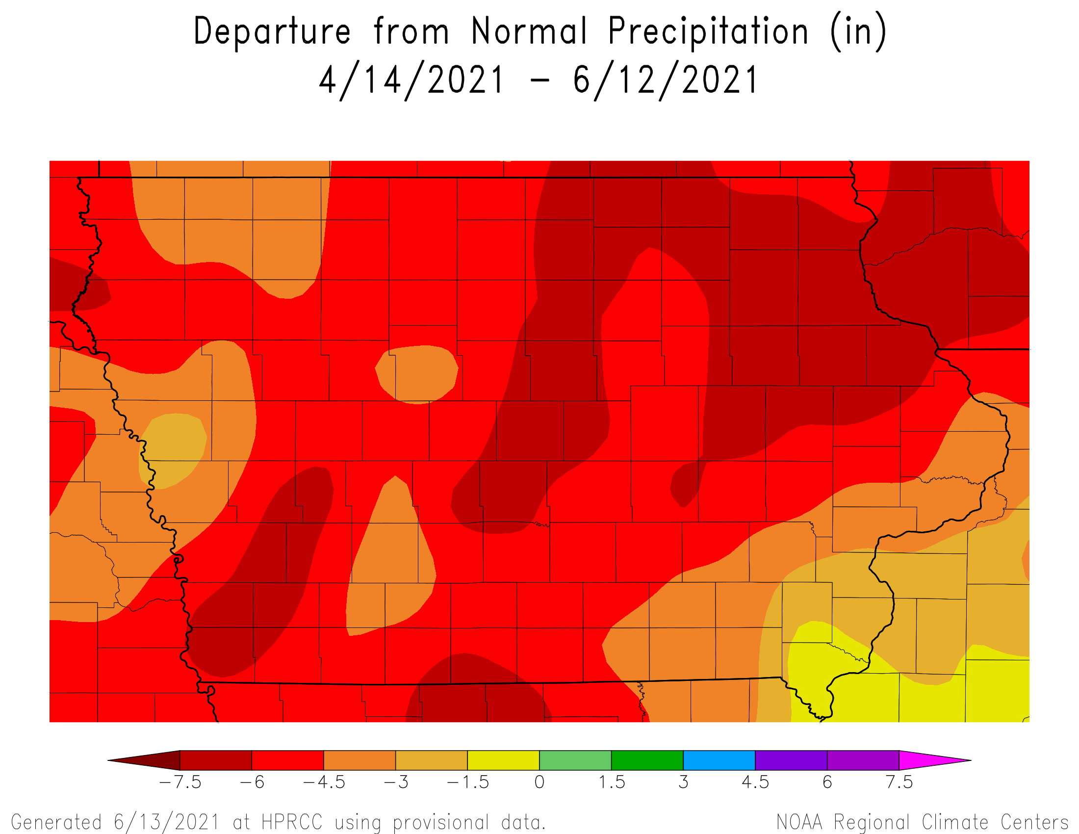
Two-month precipitation is between 4.5 to 7 inches below normal across most of south central Iowa. No rainfall has been recorded since May 27th, which has streamflows well below average in the Raccoon and Des Moines River Basins, according to historical data from the United States Geological Survey.
The next best chance for storms will be late Thursday as a cold front brings some relief to the recent hot stretch, and the U.S. Climate Prediction Center projects the potential for higher than normal precipitation between now and the end of the month. Otherwise, daytime highs approaching 90 will continue in the short-term. Marion County rates as abnormally dry and most of Warren County is in moderate drought in the latest Drought Monitor Report.
Stay tuned to KNIA/KRLS for the latest weather information.