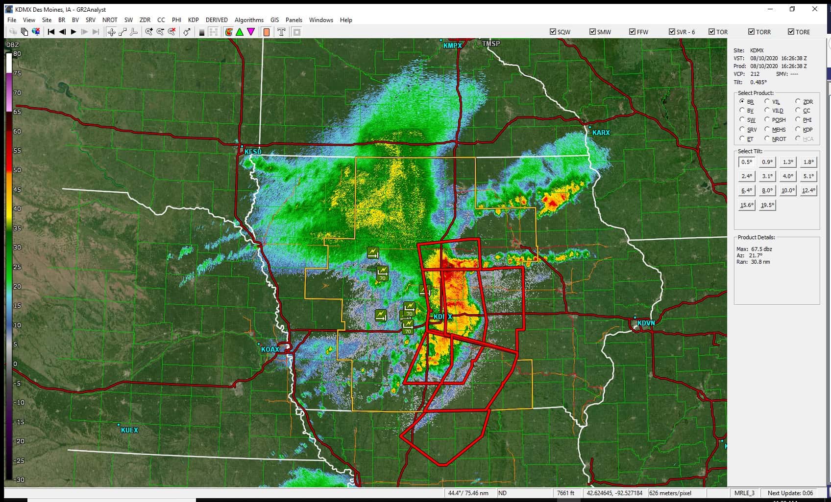
It’s been one year since the costliest thunderstorm complex in U.S. history impacted central and eastern Iowa, and due to the destructive nature of last year’s derecho, the National Weather Service has enhanced how it issues warnings.
Meteorologist Roger Vachalek with the National Weather Service in Des Moines says alerts will be sent to all cell phones in a given county when a severe thunderstorm warning is considered destructive.
“That means hail at least 2.75 inches in diameter (baseball-sized) or wind gusts at 80 MPH or higher have been observed by spotters or estimated on radar,” he says.
Vachalek says warnings with this tag will automatically activate a Wireless Emergency Alert (WEA) on smartphones within the warned area. He says after hundreds of people were injured directly or in the days following the storm, and a total of $11 billion in damage was caused across the Midwest, it was critical to enhance the way they communicate warnings in future events of similar magnitude.
Those who receive the enhanced weather alert on their smartphone can tune into live Severe Weather Action Team coverage on KNIA/KRLS for any destructive thunderstorm impacting Marion and Warren Counties.
Hear more about the new Wireless Alert System messages from the National Weather Service and the impact of the August 10th, 2020 derecho one year later on today’s Let’s Talk Pella, and read more here.

