
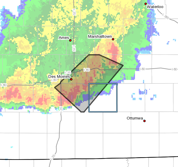
A severe thunderstorm warning issued on August 31st, 2021.
A severe thunderstorm warning kicked off several rounds of heavy rainfall impacting south central Iowa overnight. The KNIA/KRLS Severe Weather Action Team was on the air for a warning impacting northwestern Marion County and most of Warren County from 11:54 p.m. to 12:30 a.m. Strong wind gusts in excess of 50 MPH were reported in northern and western Warren County, and most of the region saw frequent lightning and downpours as part of the storm activity. At one point, more than 10,000 customers in Marion and Warren Counties were without power, according to MidAmerican Energy. Widespread rainfall amounts between 1-2″ were also reported locally.
Local rainfall (8 a.m. Wednesday):
Pella – 1.49″
Knoxville – .71″
Lake Red Rock – .81″
Indianola – 1.54″
Melcher-Dallas – 1.08″
Ackworth – 1.4″
Skies should clear this afternoon and evening, and more seasonable conditions will continue through the weekend, with daytime highs in the mid-80s and overnight lows around 60, and the next best chances for precipitation coming Friday. The KNIA/KRLS Severe Weather Action Team is on the air for any severe thunderstorm or tornado warning for any portion of Marion and Warren Counties, with backup generators ensuring the coverage stays on if the power goes out.