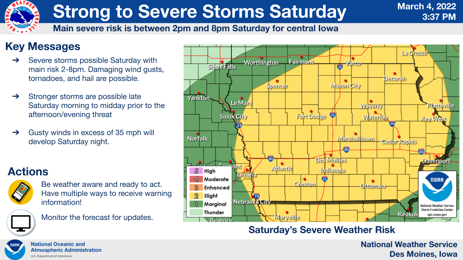
The first round of severe weather in the new year remains possible today over most of the state of Iowa. Strong, scattered thunderstorms expected to develop this afternoon may produce large hail, damaging winds, and isolated tornadoes, primarily in the afternoon hours. Following any storm activity will be gusty winds, as a wind advisory has been issued this evening through Sunday morning. Much cooler air follows, with afternoon highs in the 40s for a good portion of the upcoming week ahead and even colder conditions possible by late in the week. Wintry mix is possible Sunday night into Monday morning, with snow and freezing rain potential increasing. Stay tuned to KNIA/KRLS for the latest weather information.

