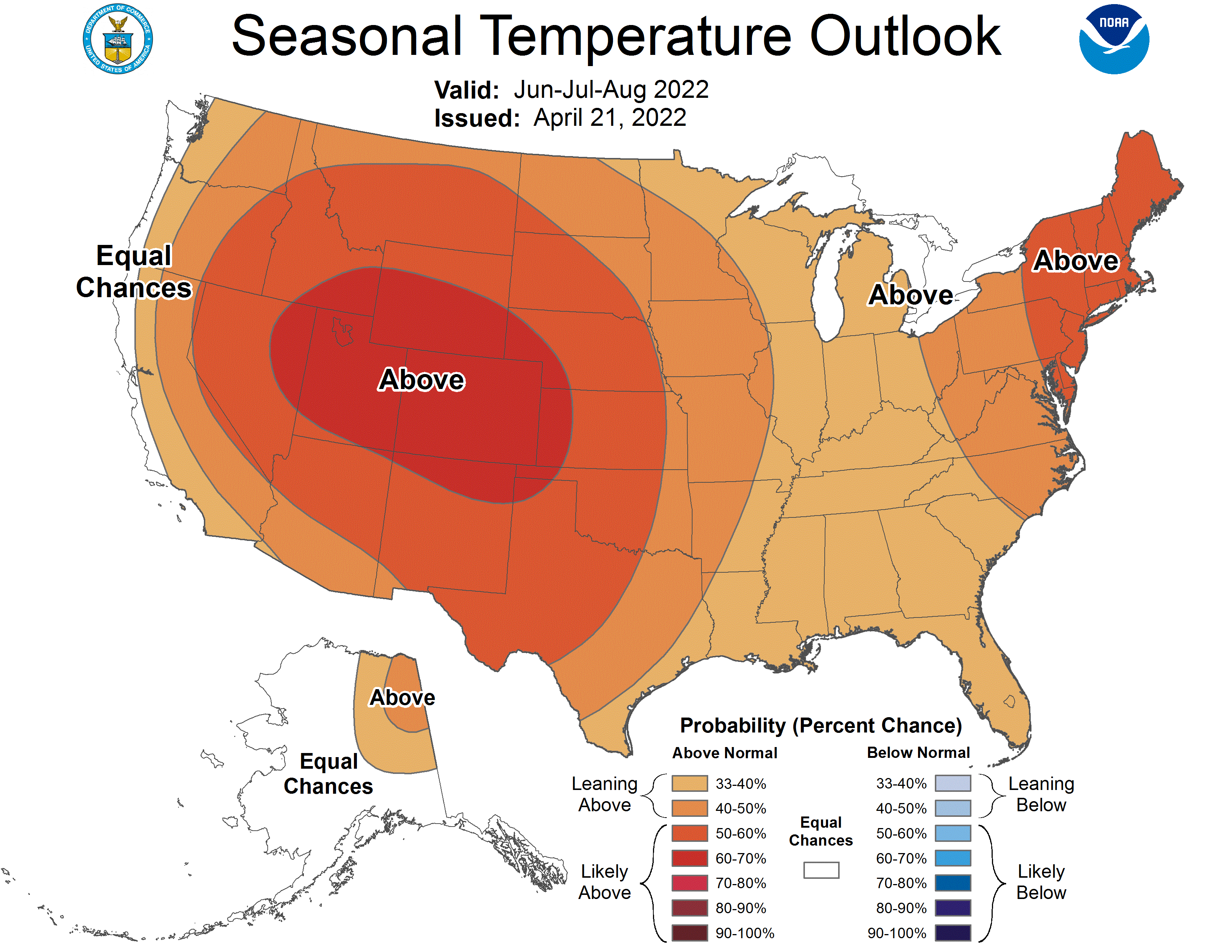
After a much cooler and windier than average spring, a warmer, drier summer could be on the horizon.
State Climatologist Justin Glisan says the jet stream sinking further south and the development of several smaller storm systems led to one of the coldest and breeziest springs in recent memory.
“You get these smaller scale systems that start to move closer to the jet stream, and you cause pretty steep pressure gradients between those two, and that’s where we got all of these windy days,” he says. “So if you look at the April wind speeds, we were anywhere from 4 to 6 miles per hour above normal — now that doesn’t sound like a lot, but when you get sustained winds on a stretch of days in the 20, 30, 40 mile per hour range, that’s where you definitely see people thinking that this was the windiest period we’ve ever had.”
The quick warm up last week was due to a ridge of high pressure that caused “compressional heating,” along with strong southerly winds. In terms of the outlook, Glisan says a drier summer — especially in July, has become a more common trend that doesn’t help those with crops as many plants mature. According to the National Weather Service Climate Prediction Center, a drier and warmer than average summer is more likely than the opposite being true.

