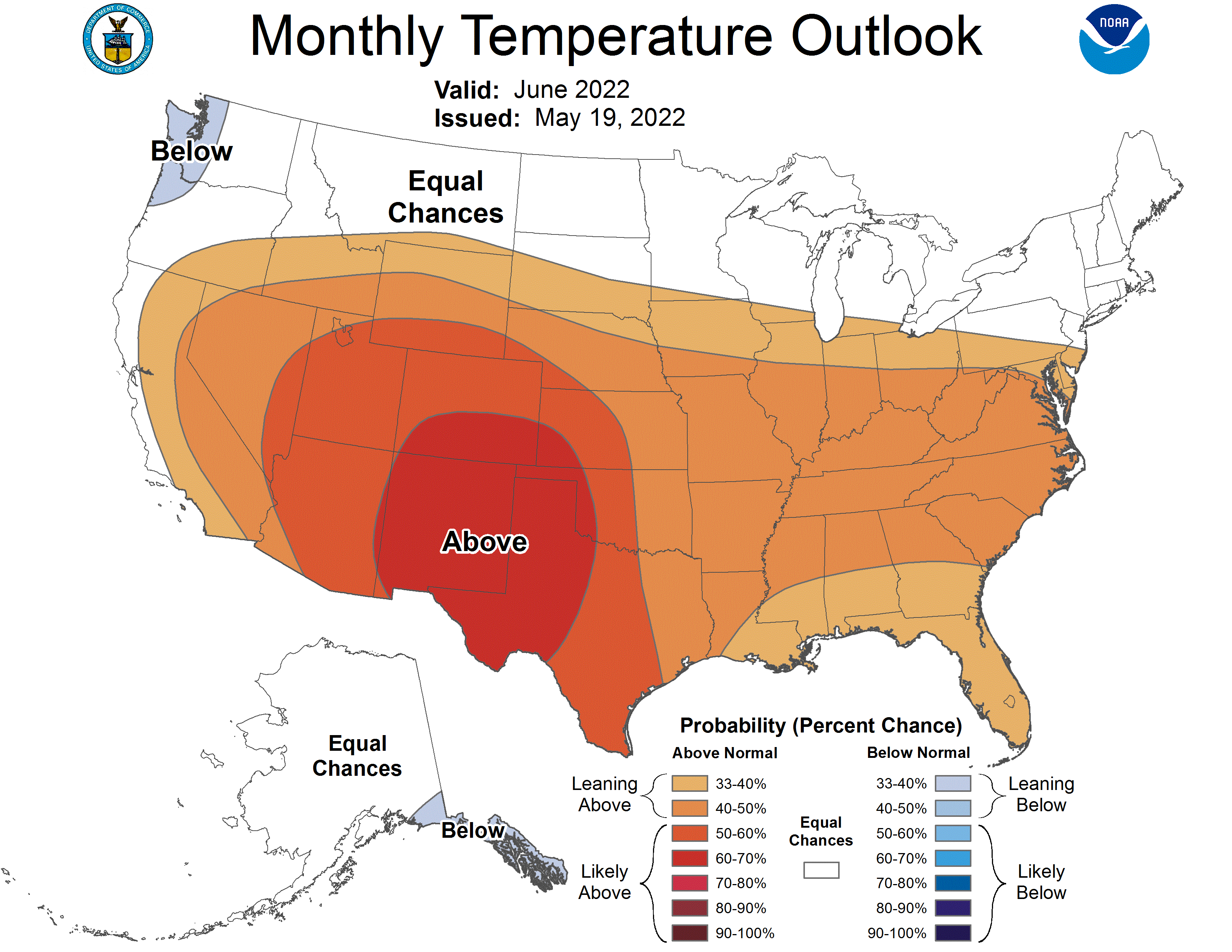
A cooler than normal start to June may be followed up by a hotter end to the month. According to the National Weather Service Climate Prediction Center, the first few weeks of the month may tend to be well-below average in terms of temperature and slightly above the mean for precipitation. State Climatologist Justin Glisan says June has become the wettest month of the year in the latest 30-year climate trends from 1991-2020, typically due to heightened thunderstorm activity. He says that moisture could be crucial, as a hotter than average summer with slightly less than normal rainfall is predicted long term, especially in July and August. In the short term, highs in the 70s and dry skies are expected through Friday, with additional chances for storms this coming weekend.

