
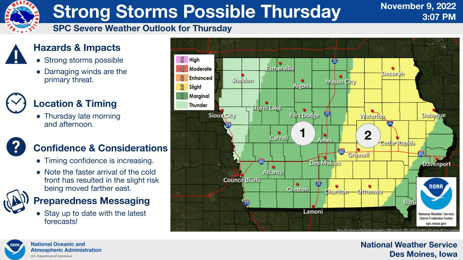
A dramatic change in weather conditions will take place today across south central Iowa.
According to the National Weather Service, a warm start with temperatures in the 60s will drop as a strong cold front sweeps across the state in the early afternoon.
As that cold air pushes in, strong thunderstorms may fire up as well, with strong winds the primary threat for potential severe weather — however, no heavy rain is expected as the storms will be fast moving.
Much colder conditions will settle into the region for the foreseeable future well into the month of November, as daytime highs drop into the 30s and overnight lows hover around 20 degrees — well below normal for this time of year.
A long standing record is also in jeopardy for the warmest low temperature on record — 53 was the mark in 1909 for November 10th.