
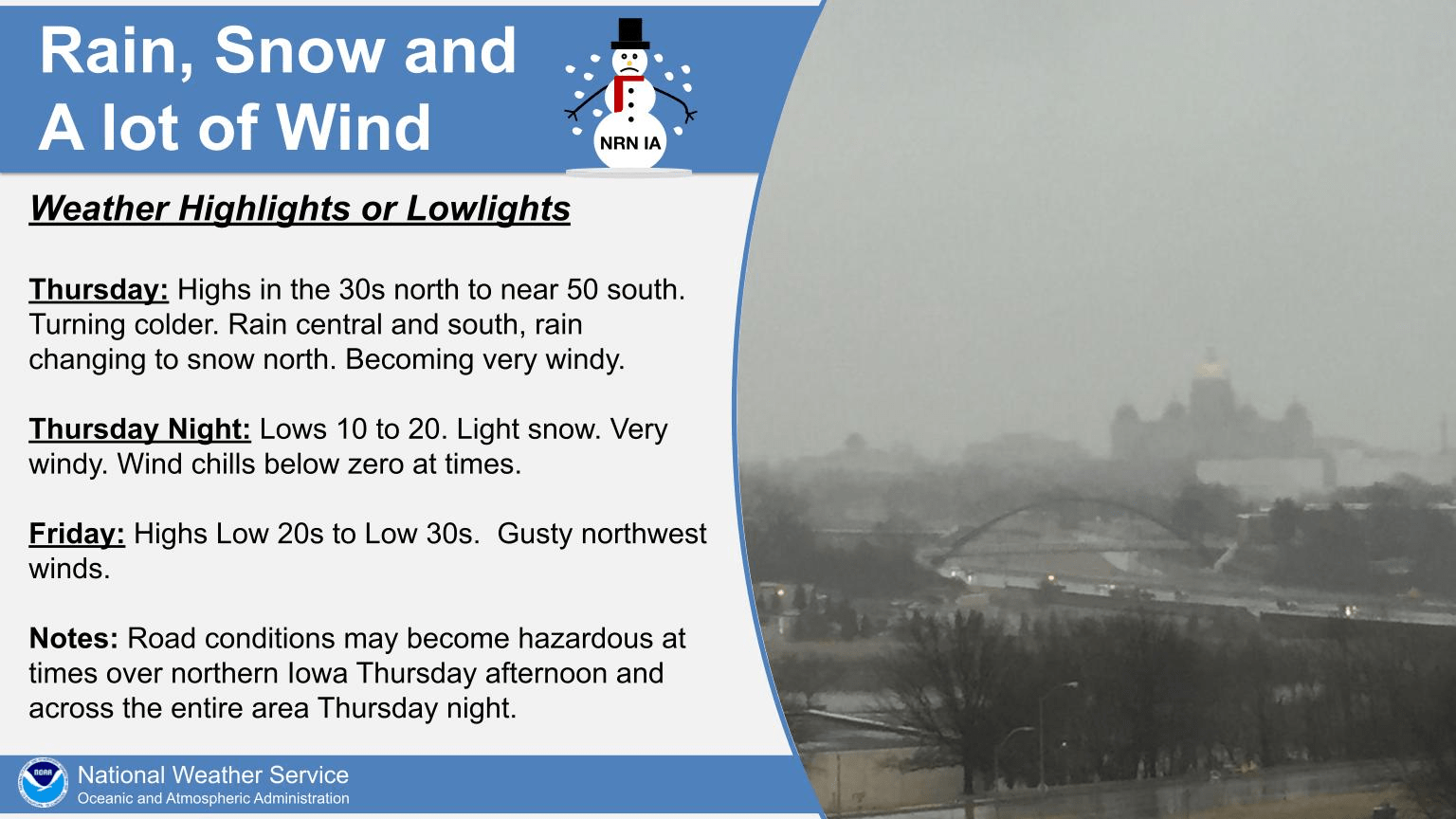
A brief warmup today will not be enough to turn the tide in what has been a very cool transition from winter to spring in south central Iowa. Highs in the 50s this afternoon will be coupled with strong winds sustained at 15-20 MPH, with gusts up to 35 MPH expected — and more cold air is set to return fairly quickly. Moderate rainfall is in the forecast Thursday with continued breezy conditions, with a chance of light snow overnight into Friday. According to the National Weather Service, highs will drop into the low 30s by Friday and below freezing Saturday, with wind chill values plummeting to near zero during the morning hours all weekend. Stay tuned to KNIA/KRLS for the latest winter weather information.