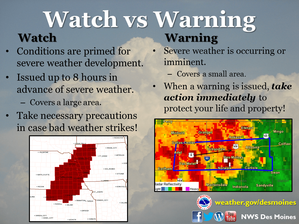
Severe weather awareness week continues with a focus on watches and warnings that are issued during the spring and summer, and the distinction between the two.
Warning Coordination Meteorologist Chad Hahn with the National Weather Service says a watch is issued several hours in advance of any severe thunderstorm, tornado, or flooding event, and a warning means the threat is immediate.
Hahn tells KNIA/KRLS News, “It’s definitely important to understand the difference. A watch product that we issue whether it be a flash flood watch or tornado watch or a severe thunderstorm watch is designed to be a tap on the shoulder, to pay attention later that day. Typically those are issued for hours in advance, sometimes six hours in duration. When we upgrade to a warning that means one of two things: we’ve either got a report from one of our trusted trained spotters, or we have been able to see it off our network of radars across the state.”
The KNIA/KRLS Severe Weather Action Team is on the air for any tornado or severe thunderstorm warning for any portion of Marion and Warren Counties, with backup generators ensuring the coverage stays on if the power goes out. Hear more about how the National Weather Service prepares for severe weather during the Statewide Tornado Drill on Wednesday at 10 a.m. on KNIA/KRLS.

