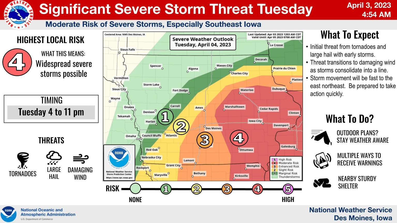
After a Friday afternoon that included several locations receiving hail and damaging winds locally and powerful tornadoes touching down in eastern Iowa, another round of severe weather could be on the horizon Tuesday.
According to the National Weather Service, the current highest threat exists over about the southeast third of the state where a few tornadoes, damaging winds and large hail are all possible late Tuesday afternoon into the evening. The storms will likely be moving fast as well.
Last week was Severe Weather Awareness Week, which typically falls in late March in Iowa, and that timeframe generally kicks off the most active time of year for strong thunderstorm activity, according to Warning Coordination Meteorologist Chad Hahn.
The KNIA/KRLS Severe Weather Action Team is on the air for any severe thunderstorm or tornado warning for Marion and Warren Counties. Live coverage was broadcast on Friday for four hours for ten total warnings.

