
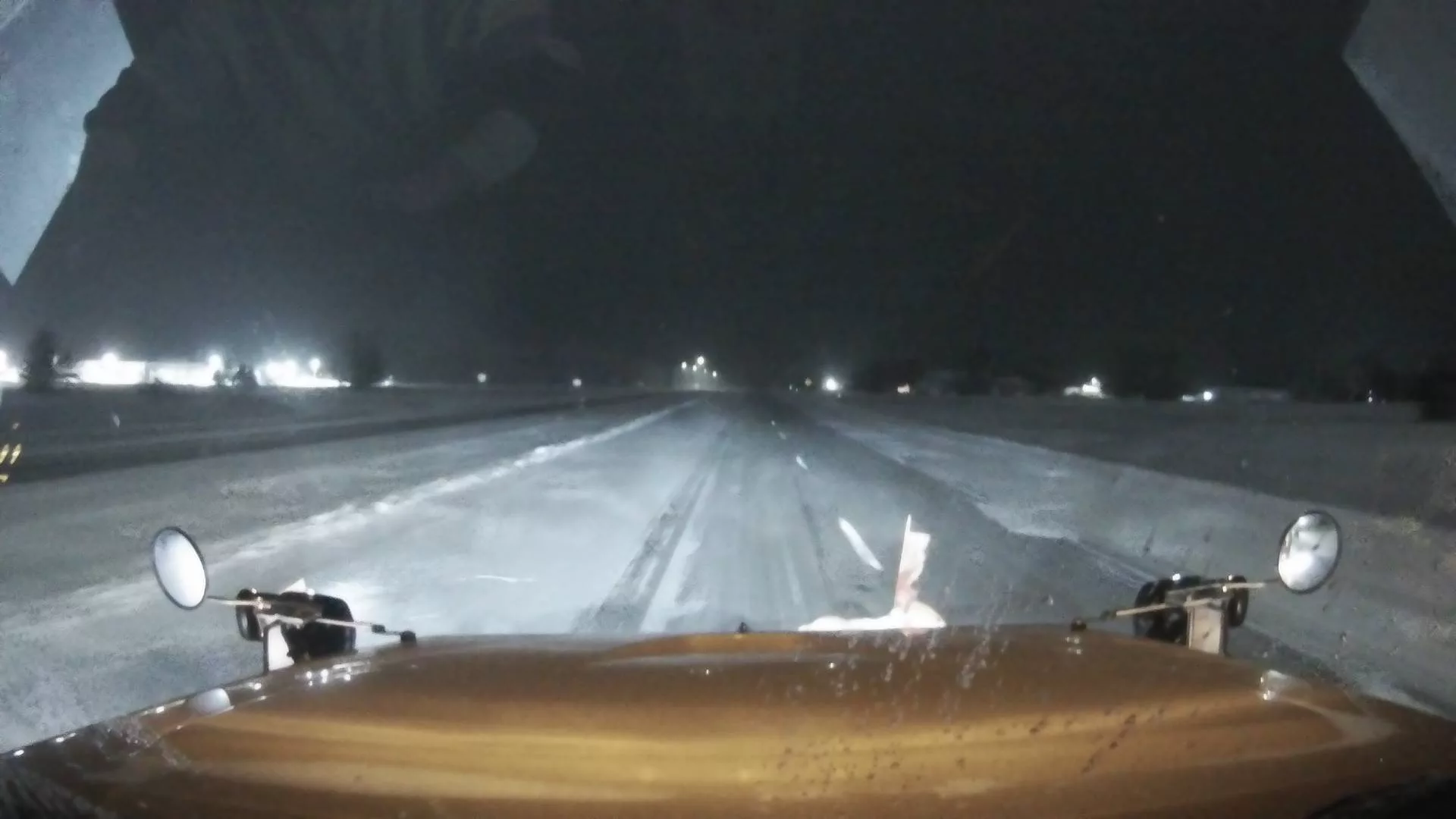
Winter’s wrath continues on many across south central Iowa after another system brought moderate, blowing snowfall to the region Thursday. Many locations received 3-4″ of snow, coupled with winds up to 30 MPH, causing travel headaches and cancelling several activities across the region. Another round of subzero wind chills are now following and continuing well into the weekend, with values as low as 25 below zero expected, especially overnight and in the early morning hours. A major shift in temperature is expected by early next week, according to the National Weather Service, as both daytime highs and overnight lows climb into the 30s, but this may also come with a mix of wintry precipitation.