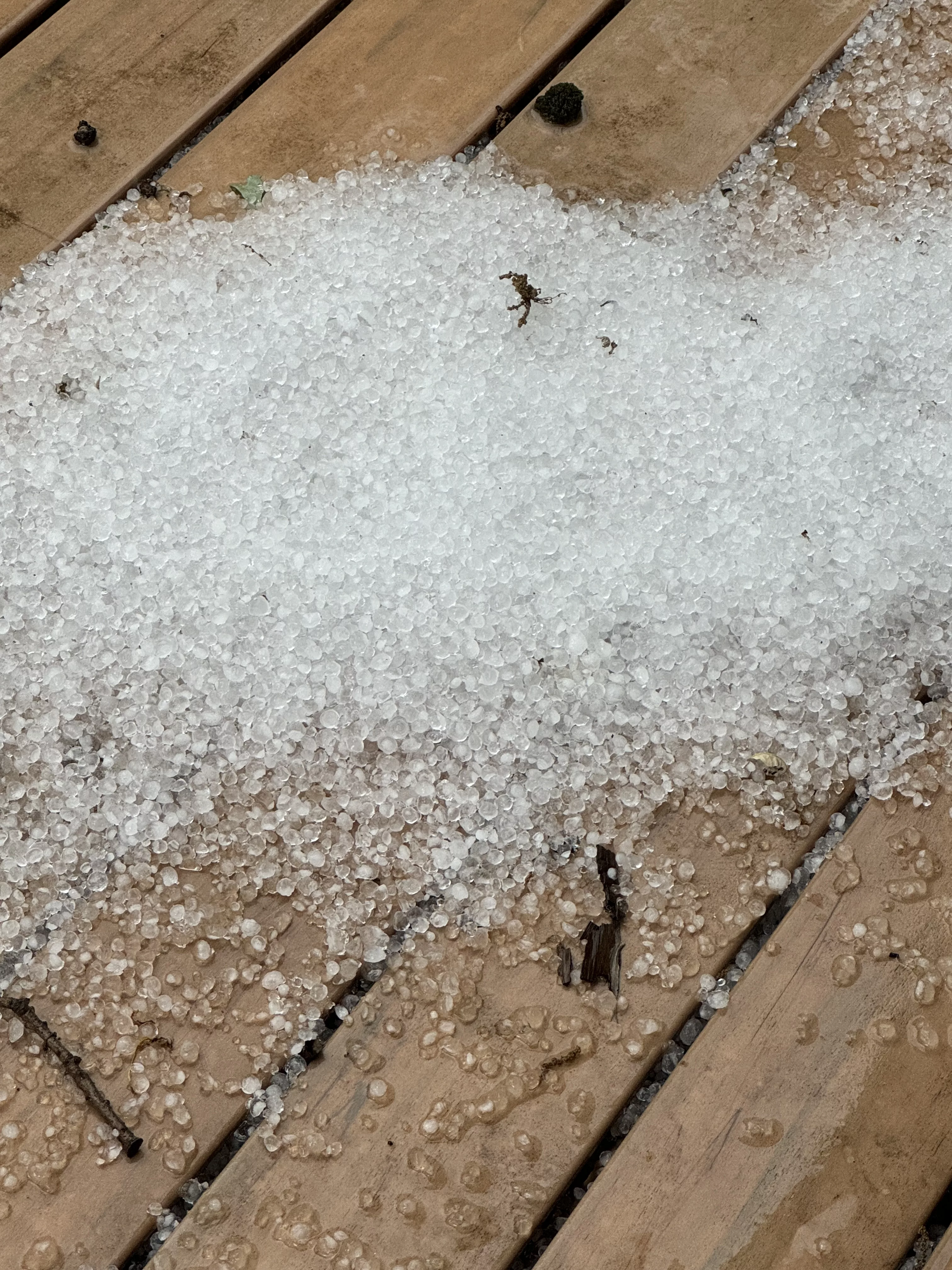
Two rounds of severe thunderstorms impacted south central Iowa Sunday afternoon into early this morning. The KNIA/KRLS Severe Weather Action Team was on the air twice, first for multiple warnings that produced nickel-to-quarter sized hail over Pleasantville, Lake Red Rock, Otley, and Pella Sunday afternoon from 3:30 to 4:45 p.m., and again from 1:40 to 2:30 a.m. for another round of intense storms.
Many locations have received one-to-three inches of rainfall since Sunday afternoon. Five staff members and Weatherology meteorologists contributed to on-air coverage.
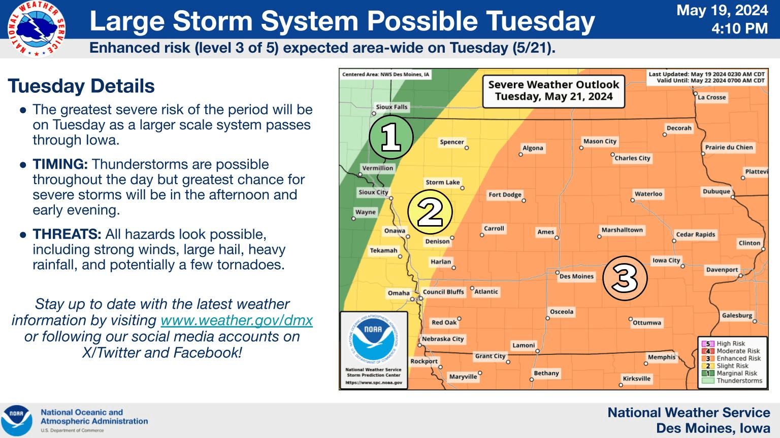
It should be an active early portion of the week, as more thunderstorms are possible late this evening into the overnight, some of which may be severe. The greatest threat for intense activity will be mid-afternoon into the evening Tuesday, as an enhanced risk for severe weather is possible during that time, according to the National Weather Service.
The KNIA/KRLS Severe Weather Action Team is on the air for any severe thunderstorm or tornado warning impacting Marion and Warren Counties.


