
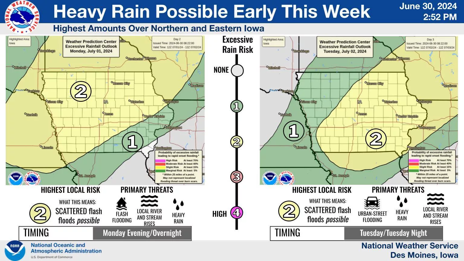
Potentially multiple rounds of heavy rainfall could impact the region through Tuesday evening. According to the National Weather Service, the first could occur overnight into the early morning hours Tuesday, but the more likely chances are forecast to take place late Tuesday. Regardless, widespread rainfall amounts of 1-2″ are expected by Wednesday morning. Localized flash flooding remains a possibility, especially as many local rain gauges received 2-4″ of rainfall over the past week. An enhanced risk — or three out of five from the National Weather Service scale, for severe weather is also in place, primarily Tuesday evening, with hail and winds the main threats on top of potentially torrential precipitation. Additional chances for rain are in the forecast early on the 4th of July, although more details about that potential event will be available later this week.