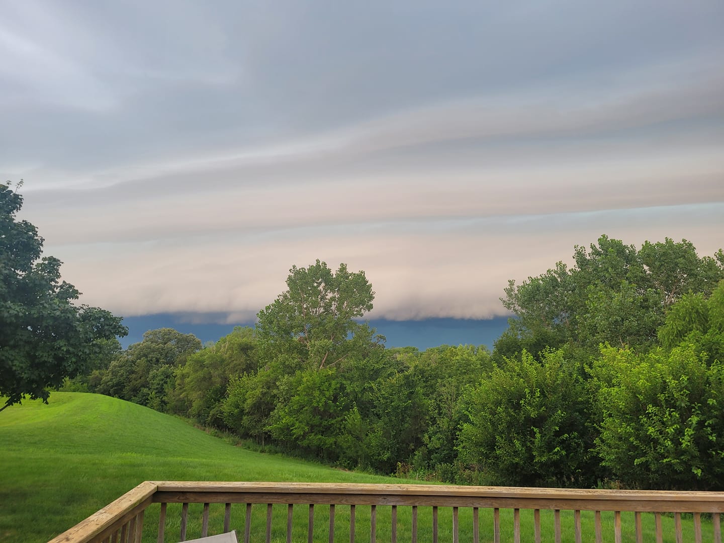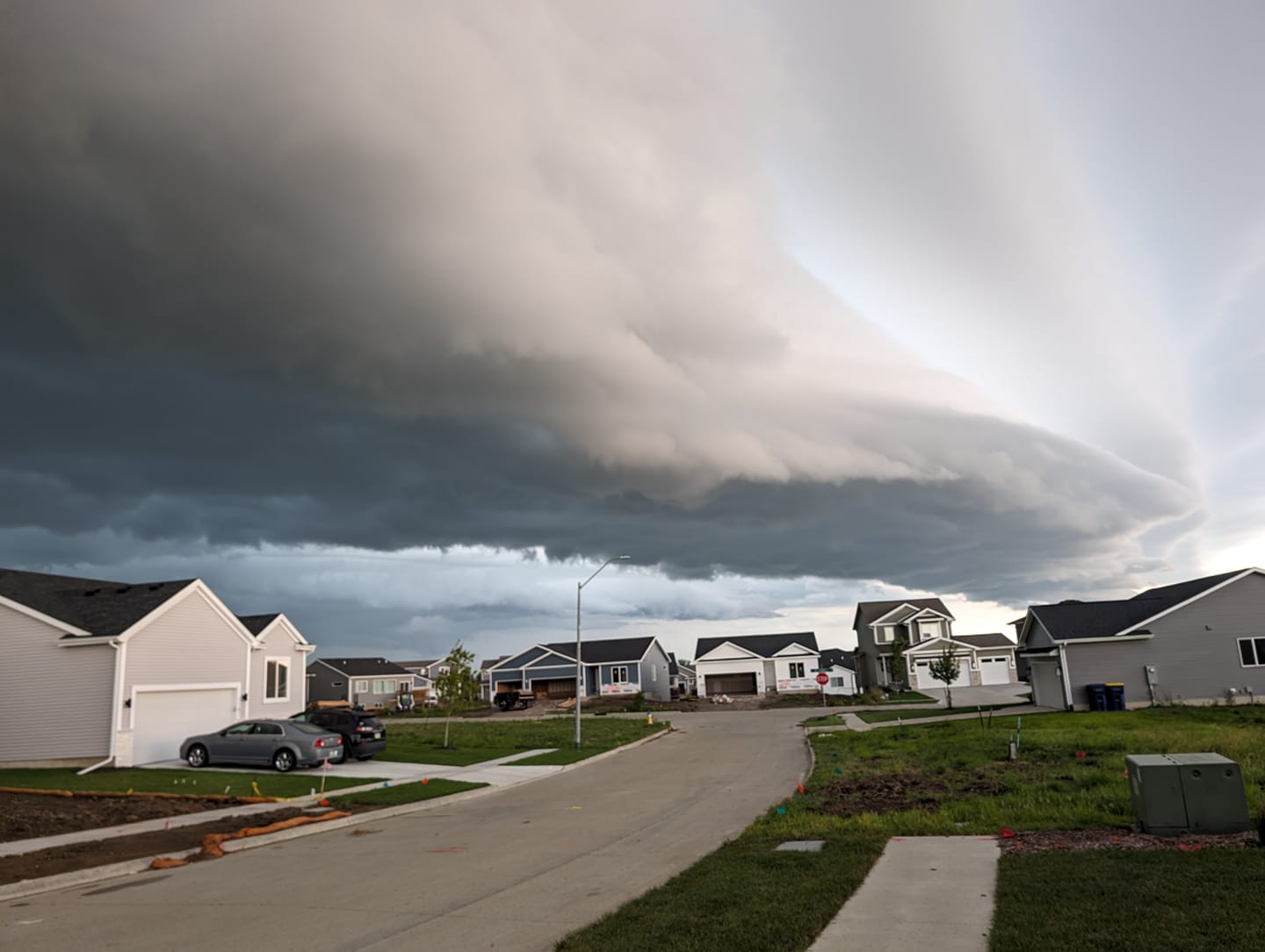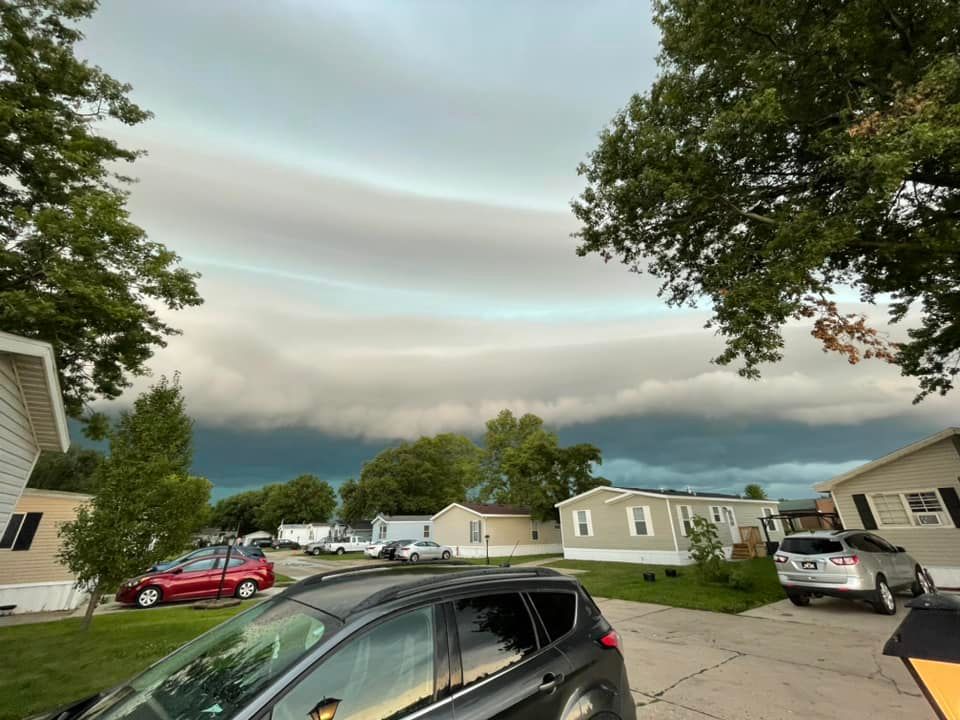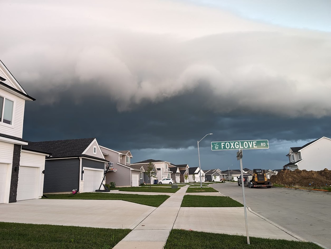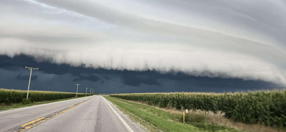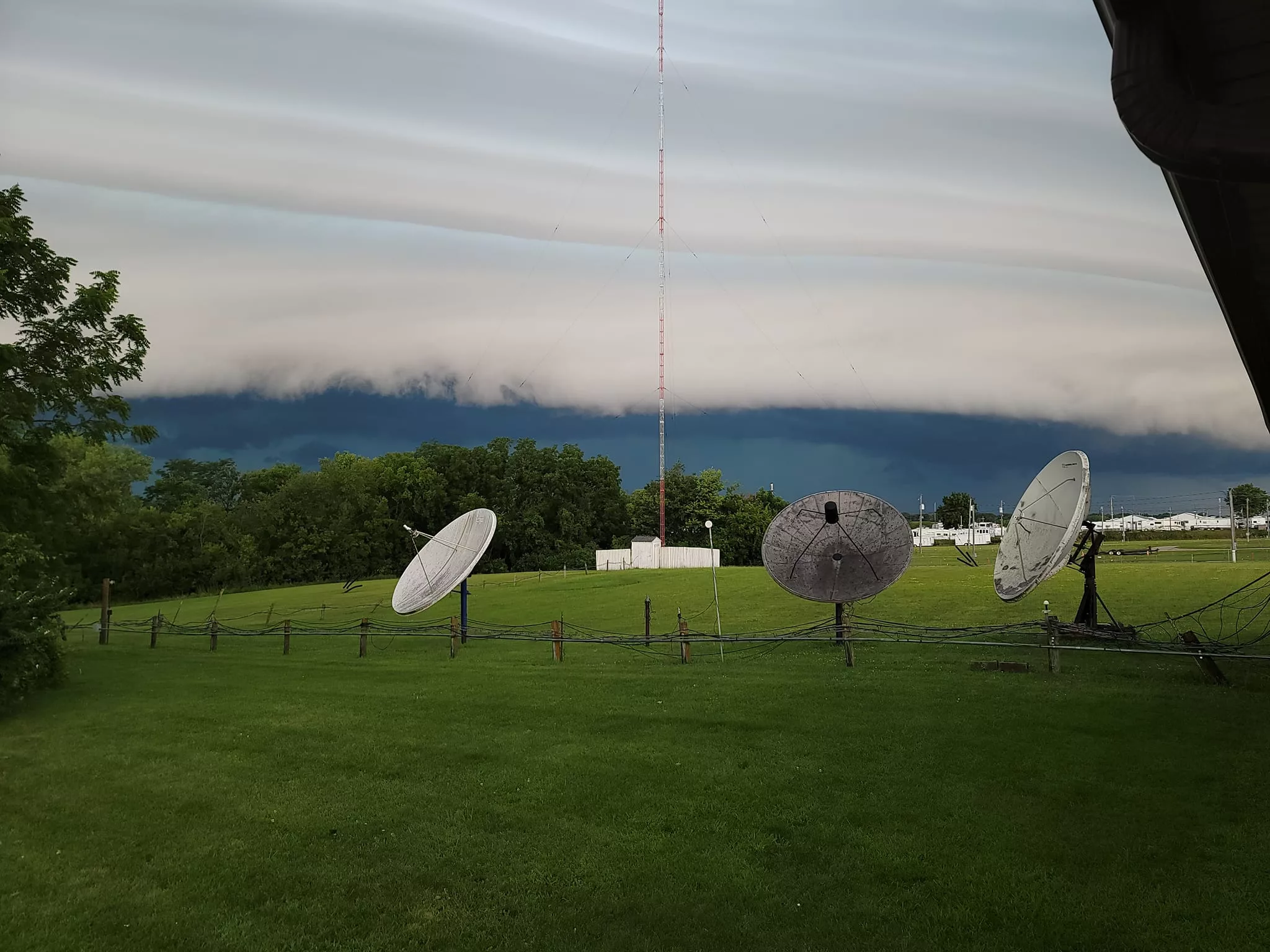
Several more severe thunderstorm warnings brought heavy rain and strong winds to south central Iowa.
A second round impacted most of the KNIA/KRLS listening area from 9 to 11 a.m., after a first round swept through between 2:30 and 4:30 a.m., bringing winds between 40 to 50 MPH and an additional 1/2″ to 2″ of rainfall that has fallen on widespread totals of 2-4″ that have fallen since late Sunday night.
The KNIA/KRLS Severe Weather Action team had multiple staff members and Weatherology Meteorologists contributing to coverage both in the early morning and again for the additional storms that moved through.
Steamy conditions will still impact the area, with heat index values common at or above 100 degrees during the afternoon and evening through Wednesday. Additional storm chances are possible early Wednesday morning and overnight into Thursday.
Photos from listeners/staff: