
There are several chances for snow this week, according to the National Weather Service.
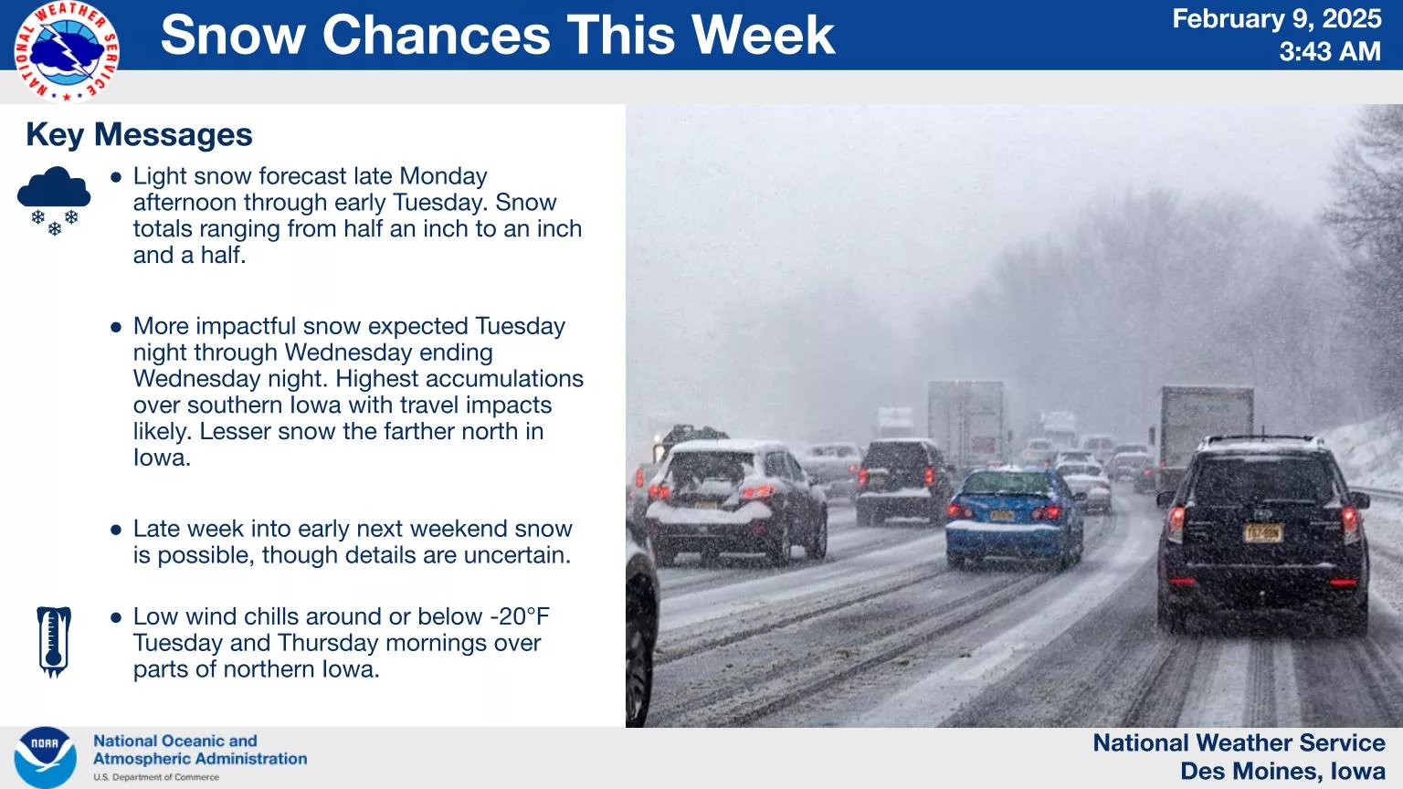
The first will come late Monday afternoon into early Tuesday, with snow totals ranging from half an inch to an inch and a half. A more impactful winter storm is forecast to arrive Tuesday night through Wednesday with the highest chance for accumulating snow over southern Iowa. Finally, snow is also possible late in the week into early next weekend, but the details are uncertain at this time. Continue to monitor the forecast for updates on these snow chances as updates will occur as we continue to evaluate new information.
Finally, temperatures will be below normal this week with Tuesday and Thursday mornings featuring wind chills around or below zero degrees locally.