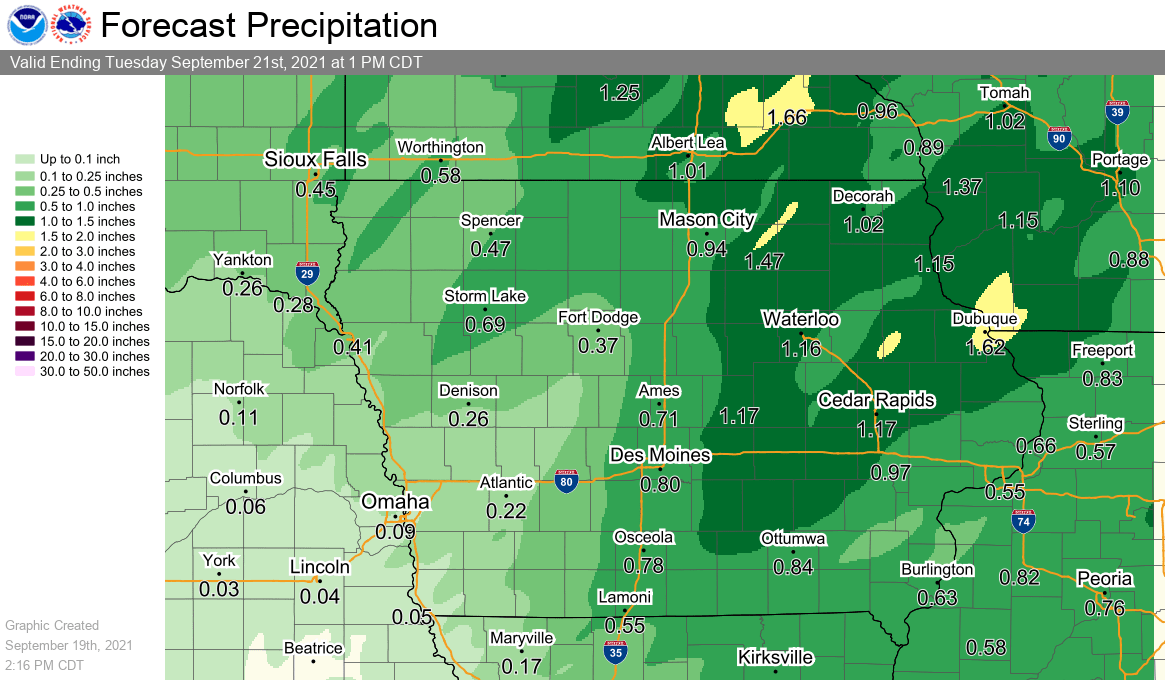
A cold front will move into Iowa today with thunderstorms developing along the boundary, especially in the afternoon and evening. A few strong to severe storms along with locally heavy rainfall is possible. Widespread precipitation amounts between ½” to an inch are in the forecast. The cold front will continue to pass through the state, followed by a much cooler day on Tuesday. Highs are forecast to be only in the mid-60s to lower 70s along with a breezy northwest wind. Mild conditions will persist through the weekend with dry conditions persisting, and highs in the low-to-mid 70s.

