
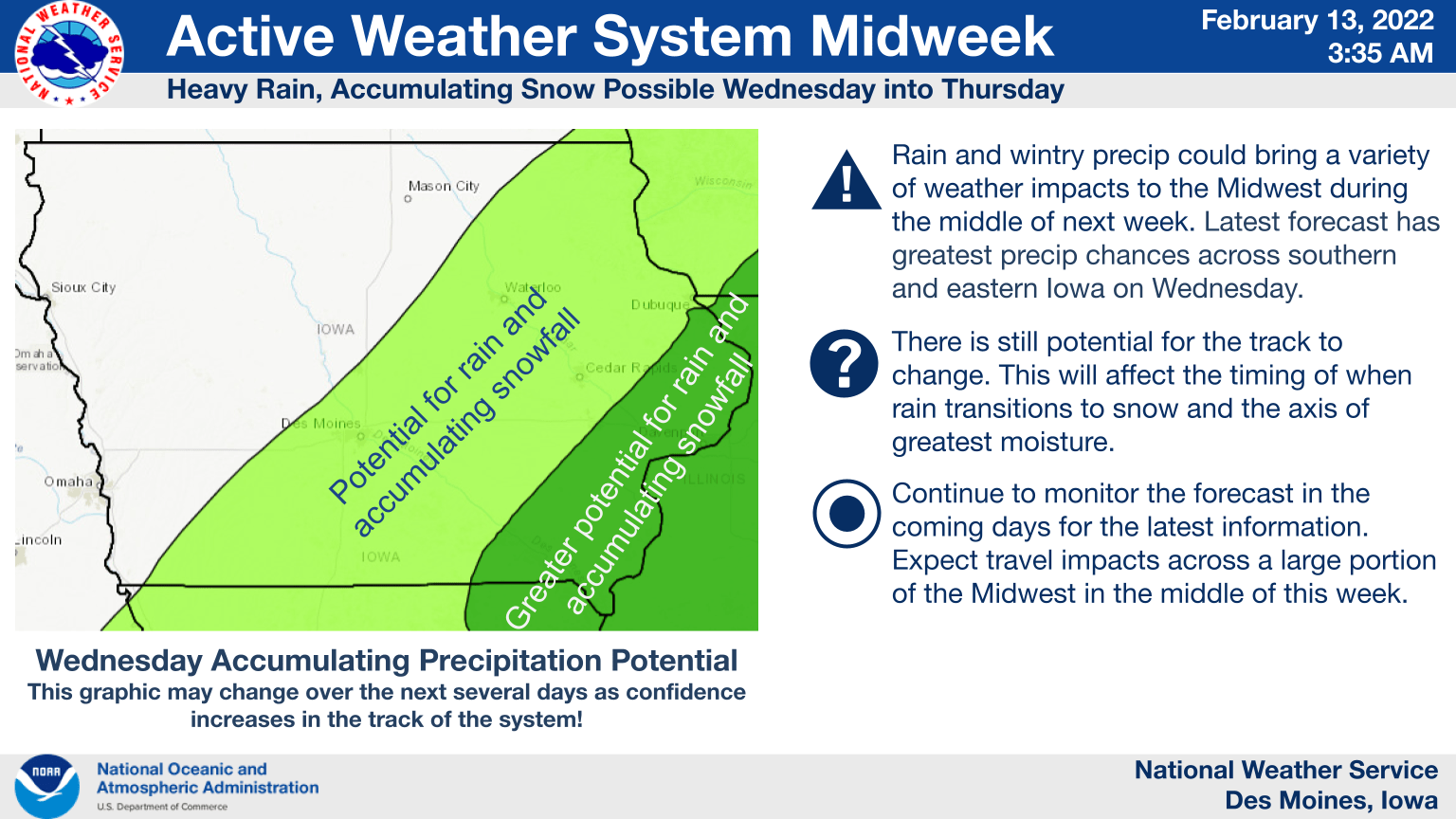
While the current forecast trends indicate heavier precipitation to the south and east of central Iowa, the National Weather Service is monitoring a strong low pressure system out west that could bring mixed precipitation during the middle of this week.
The overall track of the system this far out won’t have to shift much to bring a more difficult travel scenario to the region, but after a warm up the next several days to near 50 by Tuesday, an active weather system will bring at least some precipitation locally. Regardless of how much — if any, snowfall or sleet impacts south central Iowa, a colder day in the 20s is expected Thursday afternoon before a bounce back to near 40 by the weekend. Stay tuned to KNIA/KRLS for updates.