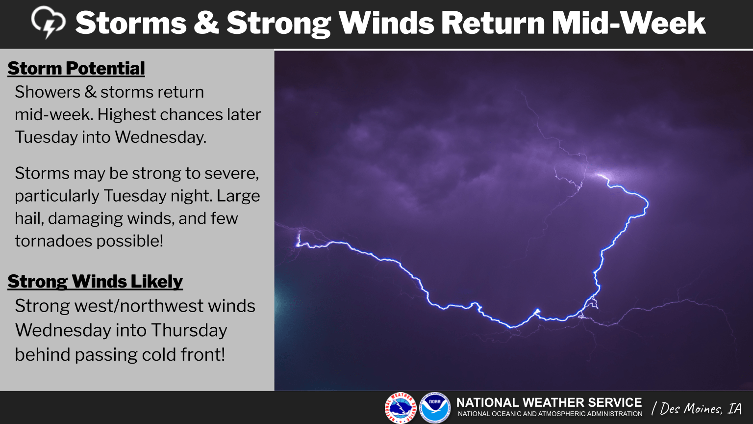
A round of late night thunderstorms could produce severe weather conditions late Tuesday through early Wednesday. The National Weather Service has issued an enhanced risk for large hail and damaging winds for two potential rounds across south central Iowa — the first would come likely well after sunset Tuesday and another potentially sometime late Wednesday morning. The storms are expected to be scattered in nature, so some areas may receive the worst of the conditions while others may miss out, according to the National Weather Service. Conditions will continue to be near to above average in terms of warmth until a strong cold front sweeps through the state Wednesday afternoon, bringing strong wind gusts and more cool temperatures. Stay tuned to KNIA/KRLS for the latest weather information.

