
***THE WATCH HAS EXPIRED***
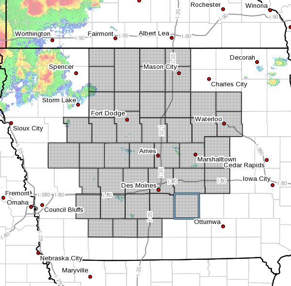
The National Weather Service has issued a severe thunderstorm watch until 10 p.m. Tuesday for Marion and Warren Counties, and most of central Iowa north of Highway 34.
The primary threats will be significant wind gusts up to 80 MPH and large hail up to two inches in diameter. Heavy rainfall is also a concern, especially over areas that received well over an inch on Sunday.
The KNIA/KRLS Severe Weawther Action Team is on the air for any severe thunderstorm or tornado warning for any portion of Marion and Warren Counties.