
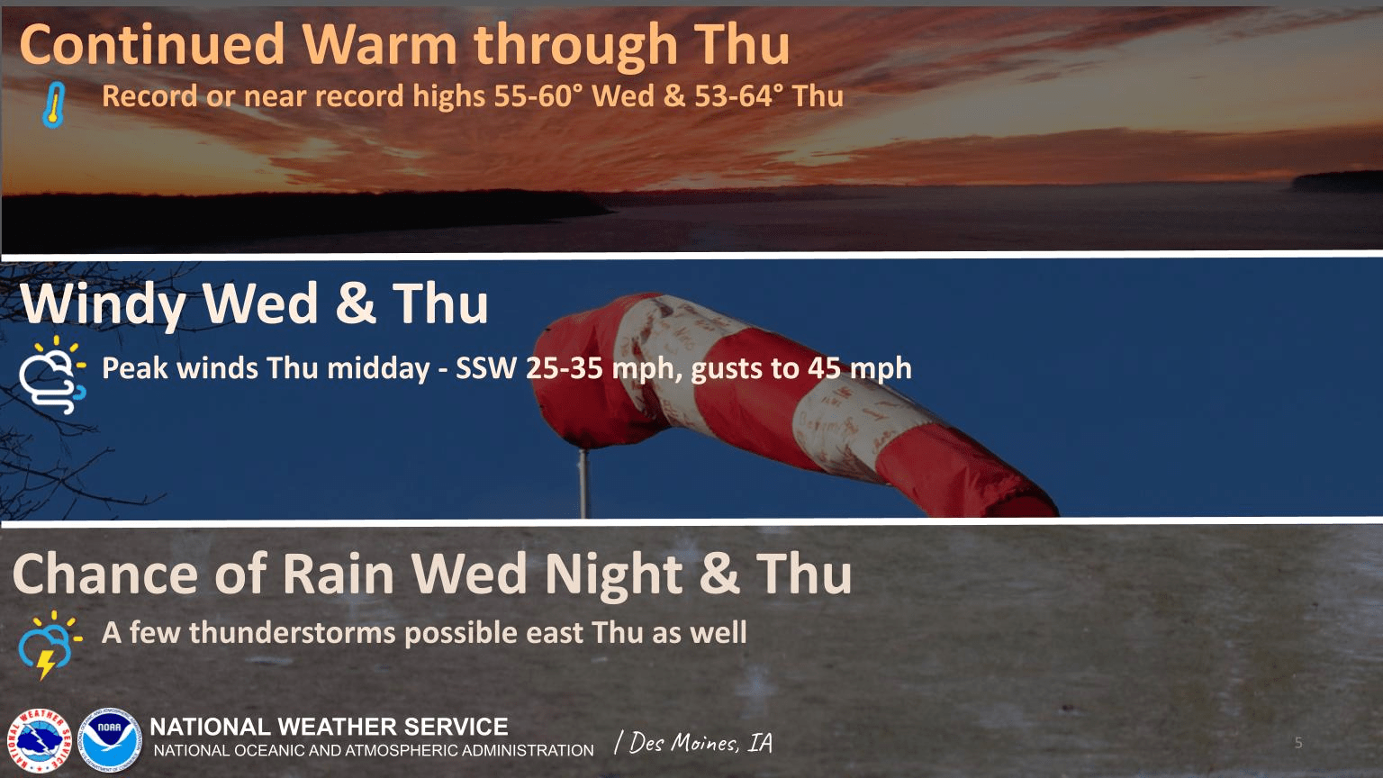
An active weather pattern will start over the next few days. According to the National Weather Service, warm temperatures and highs from the middle 50s to around 60 degrees will continue today, with record highs approached or reached in a few locations. A windy period will start as well, with brisk south winds gusting 30-40 mph west by the afternoon. This will lead into rain chances back in the forecast overnight. By Thursday, another round of record-breaking warmth, strong wind, and light rain chances all could return, with few thunderstorms are possible by the afternoon.